GIS Features
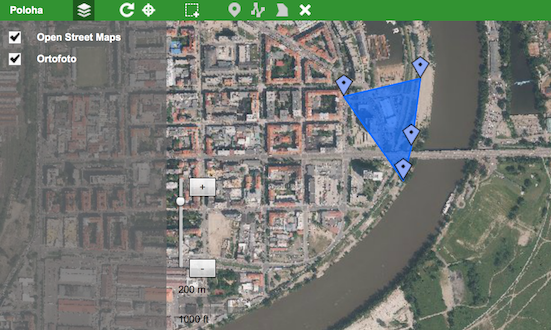
You can easily add GIS functionality to your applications by including a Map View on your data.
You can configure your custom map layers by connecting to different services. Supported protocols:
- OpenStreetMaps
- WMS
You can draw different types of objects on your maps:
- Points - Can have custom images
- Lines - Can have custom colours and a description
- Polygons - Can have custom colours and a description
Objects you draw can be later displayed on a Map View on any screen.
Example
