Using the map view you can visualize geographical data. It is enough to have 1 geographical data field and 1 description field to define a map. You can optionally provide an Azimuth and Color fields.
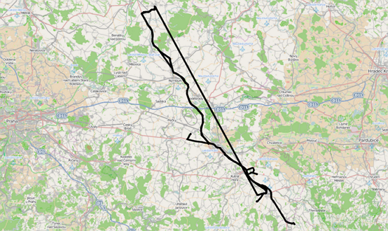
Combined with an auto refresh feature you can create real-time object tracking (e.g. car tracking) applications.
You can define multiple map layers. You can connect to
- Open Street Maps
- WMS standard map server
Filtering data in the table view will automatically filter data in the map view so you can easily analyze different sets of data.
Example
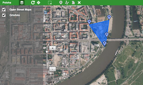
Map view in an editor mode where you can place objects on the map. There are also different layers available to turn on/off. If the layer is transparent it can be layered on top of a basic layer.
Map view in a view mode where you can see and search for multiple objects. In this case, these are lines showing a car route.