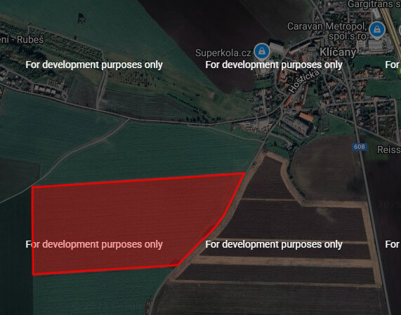
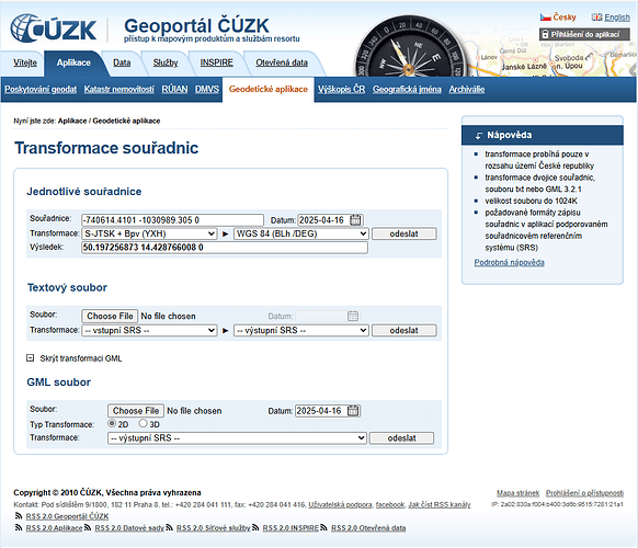
This is stack trace, when I try to run it on server.
2025-05-06 21:46:16,465 [25] ERROR Origam.Workflow.WorkflowEngine - Cannot find a script or an extension object associated with namespace 'http://xsl.origam.com/geo'.
Workflow stack trace
	Step: 'TestPolygon/Transform'

Origam.OrigamException: Cannot find a script or an extension object associated with namespace 'http://xsl.origam.com/geo'.
 ---> System.Exception: Cannot find a script or an extension object associated with namespace 'http://xsl.origam.com/geo'.
 ---> System.Exception: Transformation result invalid.
 ---> System.Xml.Xsl.XslTransformException: Cannot find a script or an extension object associated with namespace 'http://xsl.origam.com/geo'.
   at System.Xml.Xsl.Runtime.XmlQueryContext.InvokeXsltLateBoundFunction(String name, String namespaceUri, IList`1[] args)
   at <xsl:template match="ROOT">(XmlQueryRuntime)
   at <xsl:apply-templates>(XmlQueryRuntime, XPathNavigator)
   at Root(XmlQueryRuntime)
   at System.Xml.Xsl.XmlILCommand.Execute(Object defaultDocument, XmlResolver dataSources, XsltArgumentList argumentList, XmlWriter writer)
   at System.Xml.Xsl.XslCompiledTransform.Transform(IXPathNavigable input, XsltArgumentList arguments, Stream results)
   at Origam.Rule.Xslt.CompiledXsltEngine.Transform(Object engine, XsltArgumentList xslArg, XPathDocument sourceXpathDoc, IXmlContainer resultDoc) in D:\a\1\s\backend\Origam.Rule\Xslt\CompiledXsltEngine.cs:line 68
   at Origam.Rule.Xslt.MicrosoftXsltEngine.Transform(IXmlContainer data, Object xsltEngine, Hashtable parameters, String transactionId, IDataStructure outputStructure, Boolean validateOnly) in D:\a\1\s\backend\Origam.Rule\Xslt\MicrosoftXsltEngine.cs:line 175
   --- End of inner exception stack trace ---
   at Origam.Rule.Xslt.MicrosoftXsltEngine.Transform(IXmlContainer data, Object xsltEngine, Hashtable parameters, String transactionId, IDataStructure outputStructure, Boolean validateOnly) in D:\a\1\s\backend\Origam.Rule\Xslt\MicrosoftXsltEngine.cs:line 207
   --- End of inner exception stack trace ---
   at Origam.Rule.Xslt.MicrosoftXsltEngine.Transform(IXmlContainer data, Object xsltEngine, Hashtable parameters, String transactionId, IDataStructure outputStructure, Boolean validateOnly) in D:\a\1\s\backend\Origam.Rule\Xslt\MicrosoftXsltEngine.cs:line 234
   at Origam.Rule.Xslt.AbstractXsltEngine.Transform(IXmlContainer data, Guid transformationId, Guid retransformationId, Hashtable parameters, String transactionId, Hashtable retransformationParameters, IDataStructure outputStructure, Boolean validateOnly) in D:\a\1\s\backend\Origam.Rule\Xslt\AbstractXsltEngine.cs:line 163
   at Origam.Rule.Xslt.AbstractXsltEngine.Transform(IXmlContainer data, Guid transformationId, Hashtable parameters, String transactionId, IDataStructure outputStructure, Boolean validateOnly) in D:\a\1\s\backend\Origam.Rule\Xslt\AbstractXsltEngine.cs:line 127
   at Origam.Workflow.TransformationAgent.Run() in D:\a\1\s\backend\Origam.Workflow\Service Agents\TransformationAgent.cs:line 80
   at Origam.Workflow.Tasks.ServiceMethodCallEngineTask.OnExecute() in D:\a\1\s\backend\Origam.Workflow\Tasks\ServiceMethodCallEngineTask.cs:line 200
   at Origam.Workflow.ProfilingTools.<>c__DisplayClass4_0.<ExecuteAndLogDuration>g__FuncToExecute|0() in D:\a\1\s\backend\Origam.Workflow\ProfilingTools.cs:line 63
   at Origam.Workflow.ProfilingTools.ExecuteAndLogDuration(Func`1 funcToExecute, String logEntryType, String path, String id, Func`1 logOnlyIf) in D:\a\1\s\backend\Origam.Workflow\ProfilingTools.cs:line 97
   at Origam.Workflow.ProfilingTools.ExecuteAndLogDuration(Action action, String logEntryType, String path, String id, Func`1 logOnlyIf) in D:\a\1\s\backend\Origam.Workflow\ProfilingTools.cs:line 66
   at Origam.Workflow.Tasks.AbstractWorkflowEngineTask.MeasuredExecution() in D:\a\1\s\backend\Origam.Workflow\Tasks\AbstractWorkflowEngineTask.cs:line 99
   at Origam.Workflow.Tasks.ServiceMethodCallEngineTask.Execute() in D:\a\1\s\backend\Origam.Workflow\Tasks\ServiceMethodCallEngineTask.cs:line 66
   --- End of inner exception stack trace ---

